Aigeira/Αιγείρα – Akrata/Ακράτα

Coordinates: 38° 9′ 0″ N, 22° 21′ 0″ E
| Country | Greece | |
|---|---|---|
| Administrative region | West Greece | |
| Regional unit | Achaea | |
| Municipality | Aigialeia | |
| Time zone | UTC+2 (EET) | |
| Summer (DST) | UTC+3 (EEST) | |
| Area code(s) (tel) | 26960 | |
| Vehicle registration | ΑΧ | |
| Aigeira | Akrata | |
| Districts | 11 | 14 |
| Municipal unit | 103.65 km2 (40.02 sq mi) | 180.17 km2 (69.56 sq mi) |
| Elevation | 10 m (30 ft) | 140 m (460 ft) |
| Population (2011) | 2,626 | 4,747 |
| Postal code | 250 10 | 250 06 |
General Information about Aigeira
Aigeira (Greek: Αιγείρα) (IPA: [eˈʝira], Ancient Greek: Αἰγείρα or Αἴγείρα, Latin: Aegeira) is a town and a former municipality in northeastern Achaea, West Greece, Greece. Since the 2011 local government reform it is part of the municipality Aigialeia, of which it is a municipal unit. The municipal unit has an area of 103.646 km2. The municipal unit stretches from the Gulf of Corinth, where the town Aigeira is located, to the mountains in the south. The town Aigeira is 26 km (16 mi) southeast of Aigio, 55 km (34 mi) northwest of Corinth and 55 km (34 mi) east of Patras. The Greek National Road 8A (E65 Corinth – Patras) and the railway Corinth – Patras run through the town. In a distance of 6 Km from modern Aigeira there is the archaeological site of Ancient Aigeira and the Mycenaean Acropolis.
General Information about Akrata
Akrata (Greek: Ακράτα) is a town and a former municipality in Achaea, West Greece, Greece. Since the 2011 local government reform it is part of the municipality Aigialeia, of which it is a municipal unit. The municipal unit has an area of 180.169 km2. Akrata is located on the right bank of the river Krathis, 3 km from its outflow into the Gulf of Corinth. The Greek National Road 8A/E65 (Patras – Corinth) and the railway from Patras to Corinth pass through the municipal unit, northeast of the town. The nearest town is Aigeira, 4 km to the east. It is 23 km southeast of Aigio, 52 km east of Patras and 23 km northeast of Kalavryta.
Subdivisions
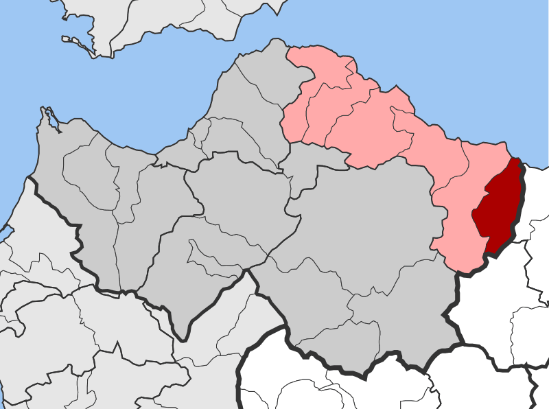
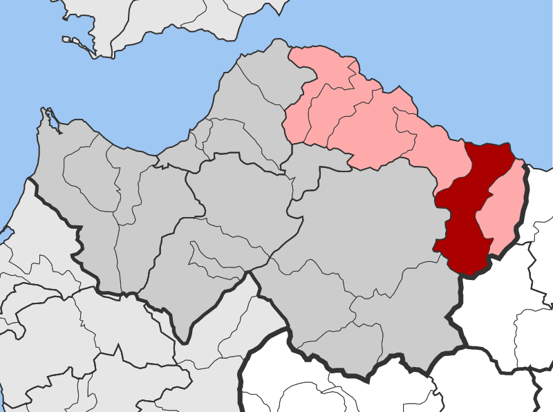
The municipal units of Aigeira and Akrata (highlighted red) within the Aigialeia Municipality (highlighted pink) are subdivided into the following communities (in brackets the alternative name) :
AIGEIRA
AKRATA

(Photo: Pitichinaccio)

(Photo: Pitichinaccio)
- Aigeira
- Aiges
- Ampelokipoi (Arfara)
- Chrysanthio (Versonva)
- Exochi
- Monastiri (Vergouvitsa)
- Oasi (Svyrou)
- Perithori
- Seliana
- Synevro
- Vella
- Agia Varvara
- Akrata
- Ampelos
- Kalamias
- Krathio
- Mesorrougi
- Paralia Platanou
- Peristera
- Platanos
- Porovitsa
- Sylivainiotika
- Valimi
- Voutsimos
- Zarouchla
Historical population
| Year | Aigeira | Akrata |
|---|---|---|
| 1981 | 1,320 (community) | – |
| 1991 | 4,211 | 5,492 |
| 2001 | 4,503 | 6,871 |
| 2011 | 2,626 | 4,747 |
